Why do they call it the Great Slave Lake you wonder? It’s not what you think, or maybe it is… Great Slave Lake is located in northern territory of Canada and was first put on European maps during the emergence of the fur trade towards the northwest from the famous Hudson Bay in the mid 18th century. The name ‘Great Slave’ comes from the Slavey Indians, one of the Athapaskan tribes living on its southern shores at that time. However, some digging reveals that the name ‘Slavey’ is the English translation given to these Athapaskan people by rivaling Cree tribes who used to captivate them and were the first people to have had contact with French explorers looking to trade fur. If translated literally from the Cree word awahka-n, it does mean ‘captive’. However, many of ‘Slavey’ decent are not proud of the word and connotation, they prefer to be called ‘Dene’.
The aboriginal peoples of the northern territories once led nomadic lives; the Inuit in particular survived by adapting to the harsh natural environment. But this balance was disturbed when Europeans established permanent settlement and introduced firearms, resulting in the drastic depletion of the barren-ground caribou, an important source for food and fur. Impacts of the fur trade on the Native Americans was two- sided. On the one hand, native-white contact in the area led to an increase in trade as a result of the mutual advantage derived from interaction. Commerce in stone, muskets, foods and handicrafts was fairly common. For the First Nations, motive for trading was access to products manufactured using European technology. The new trade items made life easier for many and they were included within local cultures without drastically altering them. Moreover, although some tribes visited trading posts quite often while others remained distant, sources such as fur traders’ diaries indicate that natives were often participants in the trade. However, the trade of some tribes caused friction amongst other. Some thrived, whilst other populations had to dislocate from their ancestral grounds, causing warfare between them. Liquor inflicted major hardships and socio-cultural trauma amongst them and some groups were forced to relocate into harsh and poor areas, which resulted in starvation and a precarious existence. Also, epidemics such as smallpox, influenza, measles, whooping cough and scarlet fever caused sufferings throughout the Northwest.
Nowadays, most aboriginal people live in towns and small settlements, attempting to maintain their old ways but mostly living under impoverished conditions. The former populations of wildlife have greatly diminished due to climate change and depletions caused by fur trade in the previous century. Attempts to introduce domestic reindeer and other domesticated animals have not been very successful. Although hunting and fishing continue to provide some food, these settlements rely on imported food, fuel, and other necessities, paying very high prizes for low quality food from far away. Nearly all freight traffic is carried by air services. Surface transportation for heavy freight is mainly by water. The waterway is supplemented in the southern part of the Fort Smith region by the Mackenzie Highway and a railway connecting Hay River to the trans-Canada rail systems in Alberta. Tractor trains and other overland vehicles using temporary winter roadways carry freight into remote areas. Snowmobiles can only be used for light winter travel.
The Fort Smith region has most of the territories’ approximately 130,000 square miles (330,000 square km) of forested land, but, even there, large stands of marketable timber are not plentiful. Several sawmills process the timber only for local use. There are arable lands in the nearby MacKenzie valley, but farming is not profitable. Trapping continues to provide income for some of the aboriginal population. Muskrat, beaver, marten, mink, and lynx are the most important furs taken in the Mackenzie area, while Arctic fox remains the principal fur in the Arctic regions. Fishing and hunting of sea mammals also provide some employment. Whitefish, lake trout, pickerel, and northern pike are fished commercially on Great Slave Lake and some smaller lakes. Seals and small whales are hunted for food, and some sealskins are marketed commercially.
The economy of the territories depends mostly on the exploitation of natural resources. However, high production costs and transportation problems inhibit the development of many of the territories’ mineral resources, including the petroleum and natural gas fields that exist in the western Arctic coastal regions. In november 1991, two geologists found 81 small diamonds at Lac de Gras, this discovery ignited the greatest diamond staking rush in the North Americas. Today Canada is the third largest diamond producer by value in the world after Botswana and Russia, largely due to the success of the north western territory diamond industry. Local governments have made it a priority to ensure this multi-million dollar industry would benefit the economy and its residents, and protect the land, water and animals for future generations, by developing agreements with each mine in its permitting stages, in cooperation with the federal government and Aboriginal organizations. These include socio-economic, and in some cases, environmental agreements.
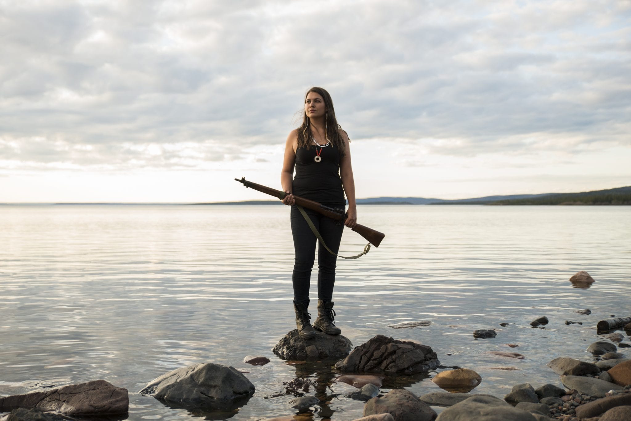
* Photo taken by Patrick Kane


